
A Sheet of the Fair Copy of the Military Survey of the North of Scotland
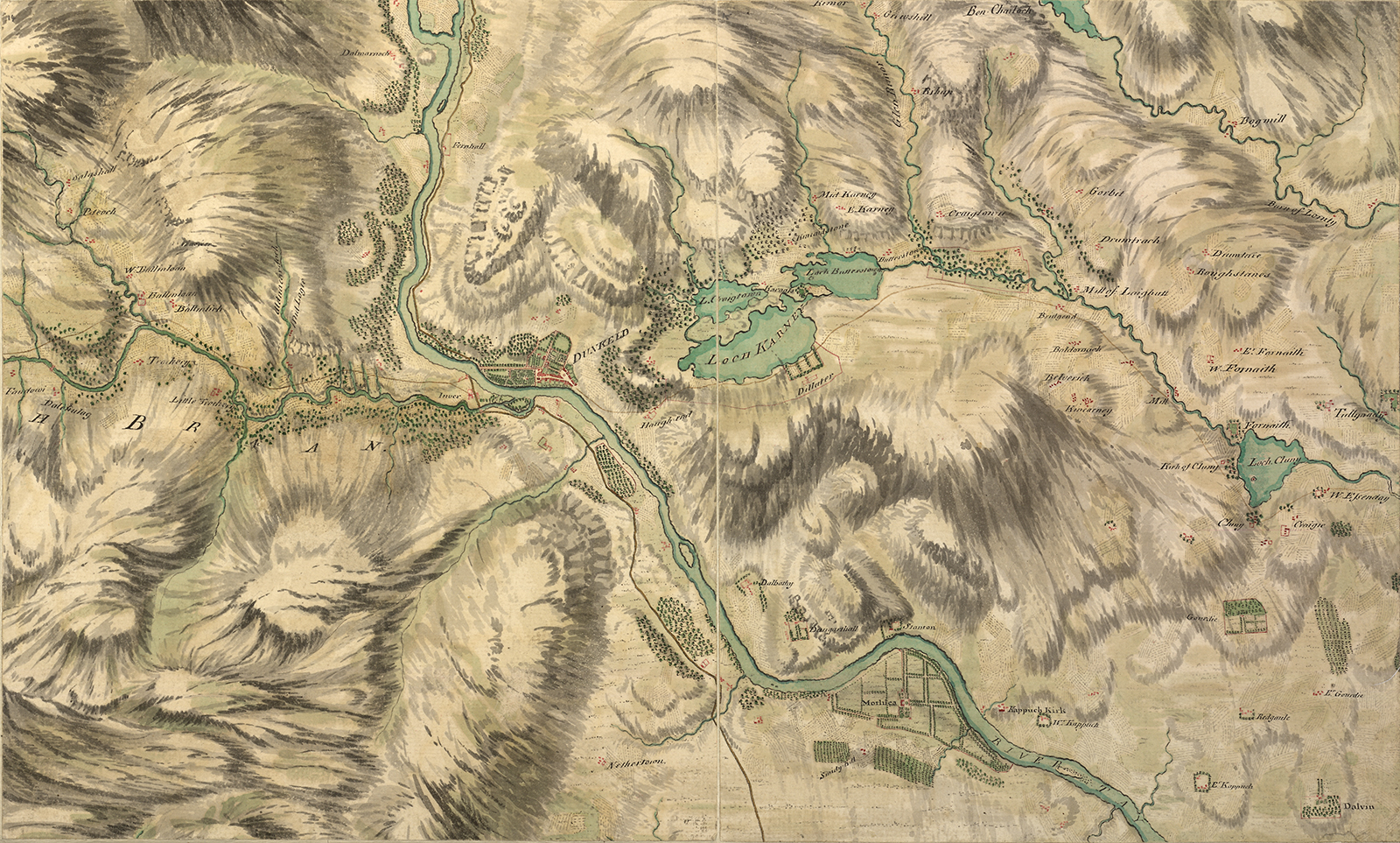
This section of ‘the Great Map’ stretches from Fife to Perthshire. Based on hastily made observations in the field, the map’s primary concern was to facilitate the movement of troops and focused on coastlines, rivers and roads. It meant that some features, such as settlements or the designed landscapes of major estates, were picked out in great detail, while others were barely recorded. The highly distinctive depiction of relief - a hybrid of ‘bird’s-eye’ and perspectival views - was the work of ‘chief draughtsman’ Paul Sandby.
c. 1750
Pen, ink and coloured wash
Explore more...

Object
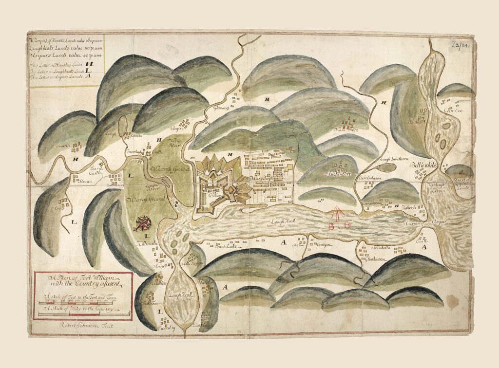
Fort William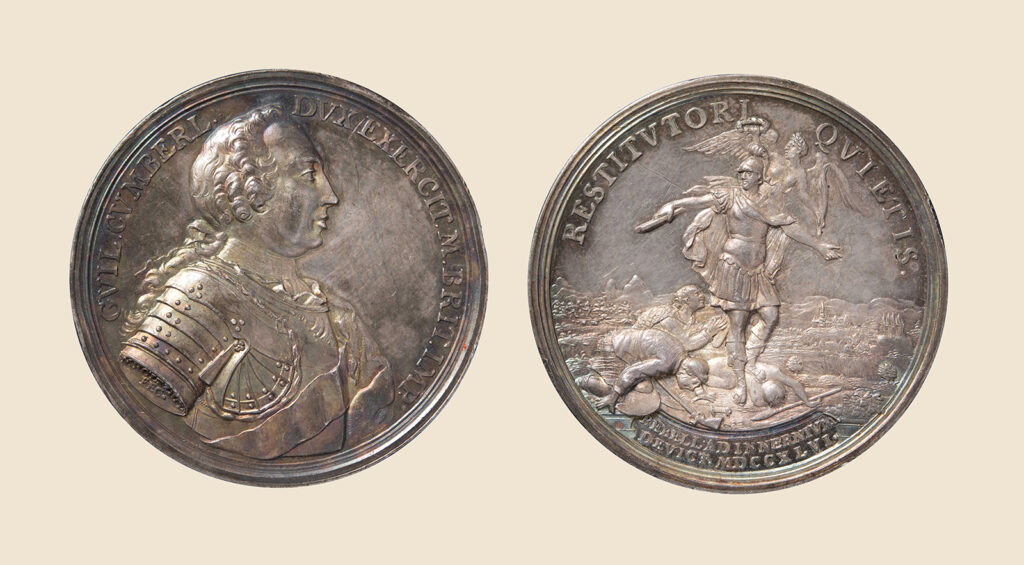
Object
Battle of Culloden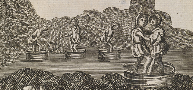
Tour Account
Edmund Burt (?-1755)