
Plan of the Roman Camps and Posts near Ardoch in Strath Allan
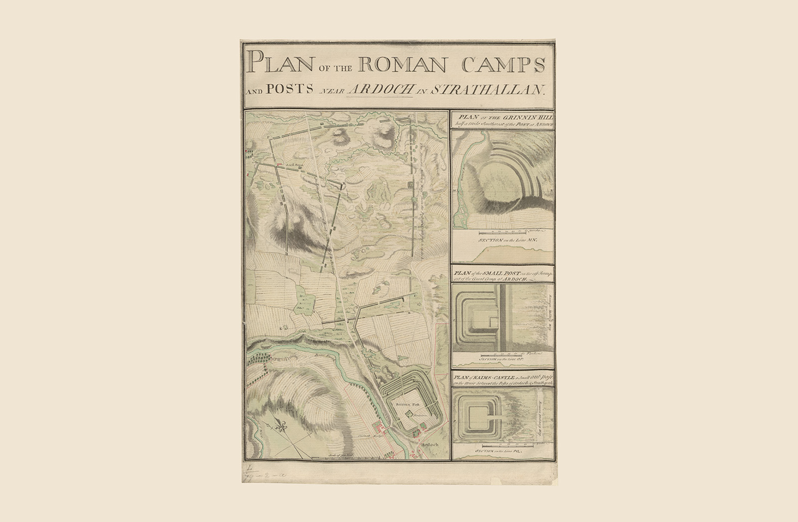
When surveying and mapping the posts and camps associated with the Antonine Wall in 1755, Roy found that “there seemed to be much room for improvement” in existing descriptions. Drawing on his keen eye for the topography and the ‘castramentation’ of Roman forts, Roy spent the next few decades refining his findings. The resulting draft publication, casting new light on Agricola’s campaign in Scotland, earned him membership of the London Society of Antiquaries in 1776.
1755
Pen, ink and watercolour
Explore more...
-
Location
Strathallan -
Location
Central Scotland